![]()
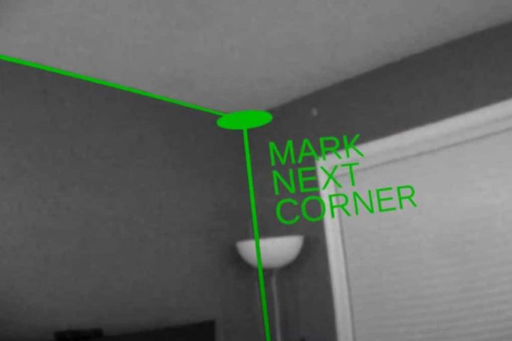
Over the years, techniques and equipment for digital mapping have revolutionized the way geoscience field studies are performed. Now a unique new software for virtual model interpretation and visualization is revealed by researchers.
Source: New 3D viewer for improved digital geoscience mapping
Type and press enter to search