Augmented reality and drones already go together like turkey and stuffing, but a new iOS app adds some spice to the combination with a new kind of flight path automation.
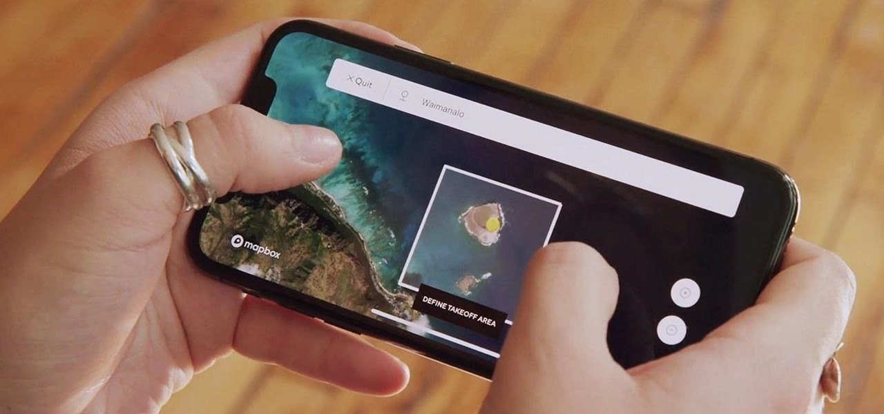
Available now in Apple’s App Store, the Vermeer Beta app displays a 3D map of the intended drone flight area so that pilots can see the terrain from various angles. Users can then use the visualization to chart the flight path of the drone.
Don’t Miss: Epson’s New Moverio Smartglasses Can Tether to Drones, PCs, & Mobile Devices Over HDMI or USB-C
With the flight path determined, users can use the app to set the drone to… more
Source: Vermeer Beta iPhone App Lets You Use Augmented Reality to Map Out Your Drone Flight